California Smoke Spotter
Contact
As part of California's efforts to mitigate wildfires and their impacts, State forestry policy calls for an increase in fuels reduction efforts including the use of prescribed fire. CARB supports that policy and launched California Smoke Spotter in 2021 as part of its efforts to help the state balance air quality protection with fire protection and land management goals. While prescribed fire and smoke impacts remain the primary focus of the app, it was expanded to include information on wildfires in 2022.
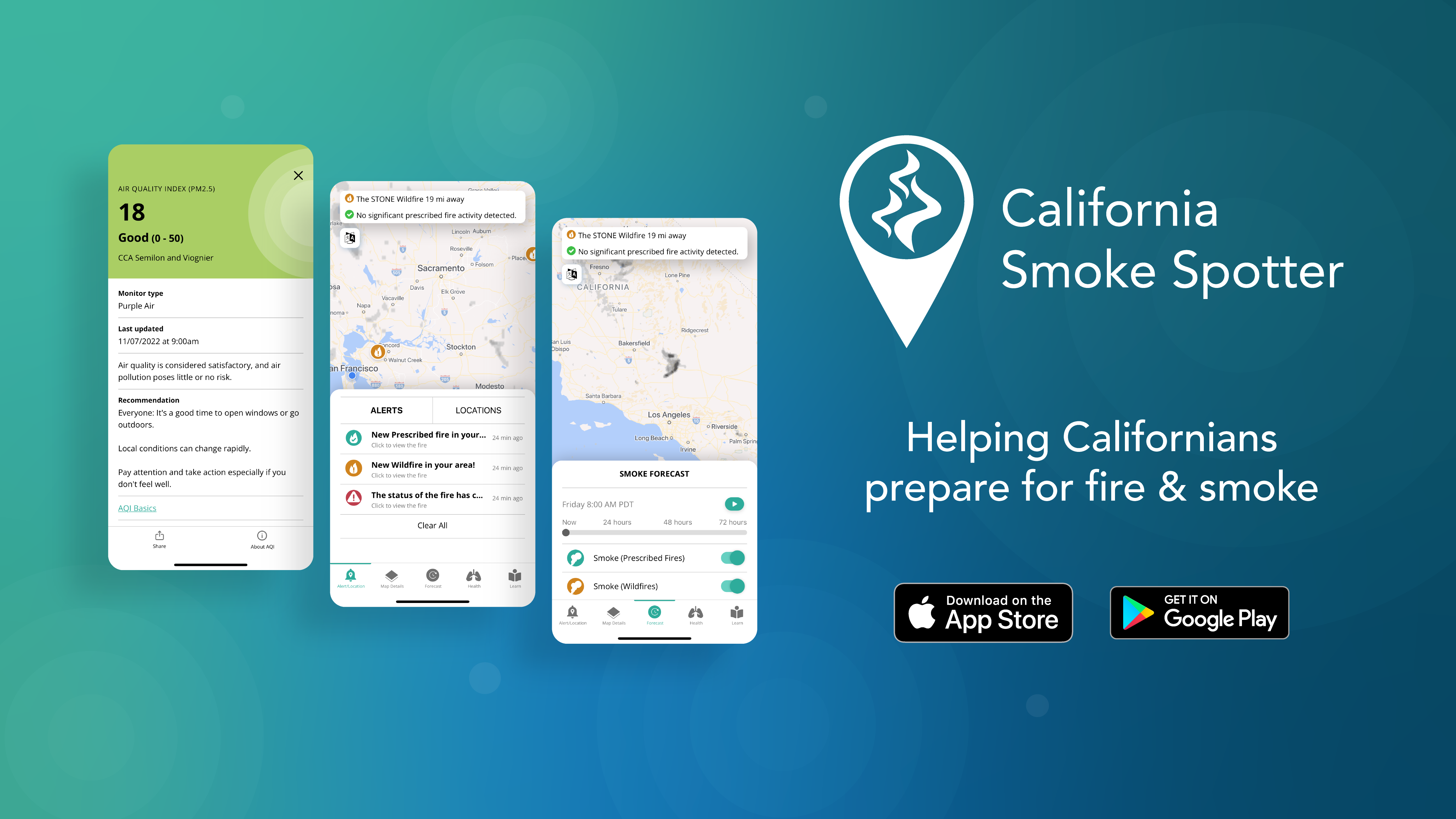
Key features of California Smoke Spotter, available in English or Spanish, currently include:
- 72-hour smoke forecast
- Personalized alerts for multiple locations
- Current Air Quality Index (AQI) data
- Latest information on wildfires and prescribed fires
- Health section shows users how to protect themselves from smoke
App Store | Google Play
Smoke Forecasts
The prescribed fire smoke plume forecasts displayed on California Smoke Spotter are created using the BlueSky Modeling Framework. BlueSky is a tool developed by the AirFire Research Team based at the U.S. Forest Service’s Pacific Wildland Fire Science Laboratory in Seattle, Washington.
The BlueSky framework integrates a variety of independent models of fire information, fuel loading, fire consumption, fire emissions, and smoke dispersion. The model inputs include actual topographical, meteorological, biomass, fire and smoke data. At each modeling step, the framework has several different, specific models from which to choose. BlueSky is not a model per se because many different modeling pathways are possible within the framework.
The smoke plume animations that you see in the California Smoke Spotter app are created from BlueSky calculations of likely smoke trajectories and downstream smoke concentrations. The forecast animations represent a 24-hour period that comprises the daily burn window. The prescribed fire plume forecasts are updated daily between midnight and 3:00 a.m. PST, based on fire information entered into CARB’s Prescribed Fire Information Reporting System (PFIRS) database by the fire manager. Plume forecasts for wildfires originate from satellite imagery.
Unlike the colored AQI values, the smoke depicted in gray on the California Smoke Spotter forecast map does not indicate a specific concentration of smoke or particulate matter. Rather, it provides a relative indication of smoke visibility. Light gray smoke on the map indicates a dispersed, lightly visible haze, whereas dark gray or black areas indicate a clearly visible smoke plume.
You may also notice that prescribed fire smoke, as shown on the map, appears in smaller amounts than wildfire smoke and disperses quickly. Prescribed burns typically only take a day or so to complete, and are only conducted during ideal weather conditions. Because of this – and the fact that prescribed fires burn less fuel and more slowly than wildfires – prescribed fires generally produce much less smoke than wildfires. California Smoke Spotter’s smoke plume forecast reflects this difference.
For more information about prescribed fire smoke forecasts, see Frequently Asked Questions below or send an inquiry to CARB’s Agricultural and Prescribed Burning Support Section.
Frequently Asked Questions
Why doesn’t the smoke I see in my area appear on the app?
There are a number of reasons this might occur. The California Smoke Spotter app gets its prescribed burn data from CARB’s Prescribed Fire Information Reporting System (PFIRS) database. However, the law does not require air districts or land managers to enter prescribed burn information into PFIRS. Many districts and land managers use the system already, and CARB is working with others to address various challenges that may keep them from using the system. It’s possible you’re seeing smoke from a prescribed burn conducted by an authority that is not yet reporting through PFIRS.
It’s also possible that you are seeing smoke from a small backyard fire or residential burn; in most districts, local rules require this type of burning be handled and permitted separately from prescribed fire, so those burns will not appear in the app. The smoke you see may also be from a structural fire or other accidental fire.
CARB is working on continuous improvements to the app to capture and properly identify additional sources of smoke.
I received a notification that there is a prescribed fire in my area. Why can’t I see the smoke?
There are a number of reasons this might occur. The prescribed burn may simply not be generating enough smoke to be visible from your vantage point. Because the app’s smoke plumes are generated based on predicted burns for the following day, it’s also possible that the burn may have been cancelled at the last minute, or may not have been ignited yet. This is done to assure the best possible atmospheric conditions for safe smoke dispersion.
Who should I notify if I see smoke from an unusual or suspicious source?
If you believe the smoke source is an uncontrolled or unsupervised fire, contact your local fire department. If you believe someone is burning a controlled but illegal fire, contact your local air pollution control district.

